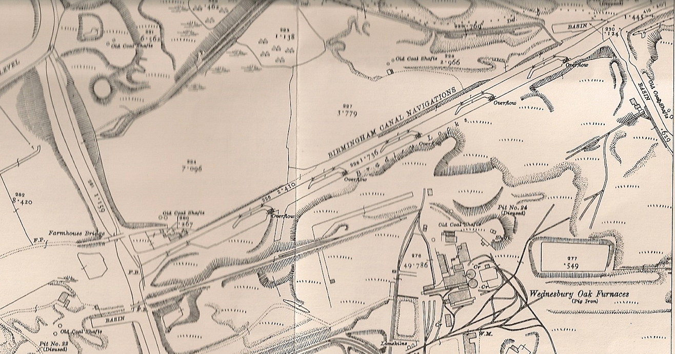
The feasibility study into the restoration of the Bradley Canal is proceeding apace, and this week the Canal and River Trust has launched an interactive map to explore 'lost waterways'.
This features the Bradley Arm as number 10 on the map (just zoom in without panning!) Other waterways high on the restoration agenda for the West Midlands are the Lapa Canal, Hatherton Btranch, Lichfield Canal and the Fens Branch of the Stourbridge canal.
Personally, I think the Bradley Canal offers more to the network in terms of increased boat traffic, economic impact and ecological benefits than any other in proportion to its size - but then I may be biased!
Sir Tony Robinson has put his name to the CRTs restoration campaign; I'm hoping Bradley will be high on the list.
Below is a rather nice map of the canal arm, as it was over a hundred years ago. It will be wonderful if those long hearder pools, that wrap around the southern sides of the locks, can be recreated as a chain of small wetlands. compare with the Google view of the area as it is today.


